
A new feature from Esri’s ArcWatch takes a closer look at how the University of Rhode Island’s Coastal Hazards, Analysis, Modeling and Prediction (CHAMP) system is helping emergency managers prepare for coastal storms.
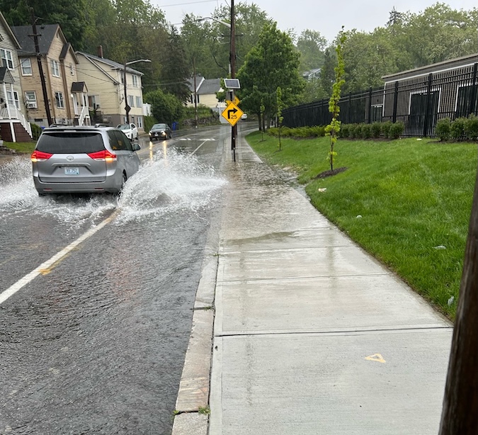
The University of Rhode Island’s CHAMP system forecasts where storm surge will strike.
CHAMP combines real-time storm forecasts with detailed GIS data to help emergency managers anticipate not only where flooding and damaging winds may occur, but what could be affected—from roads and utilities to critical facilities and other infrastructure.
Developed by an interdisciplinary team at URI in partnership with the Rhode Island Emergency Management Agency, the system brings together expertise in storm modeling, engineering, GIS, emergency management, and coastal resilience. Rhode Island Sea Grant is part of the CHAMP team and supports efforts to connect coastal hazard science and tools with the people who use them to make decisions.
The ArcWatch feature explores how CHAMP was developed, how emergency managers are helping shape the system, and how researchers are working to expand its capabilities.
But producing better storm information is only part of the challenge. How that information is communicated—and what people need to interpret and use it effectively—matters, too.
Rhode Island Sea Grant, the University of Rhode Island, and the Metcalf Institute recently brought journalists together for a hands-on workshop using CHAMP to explore those questions.
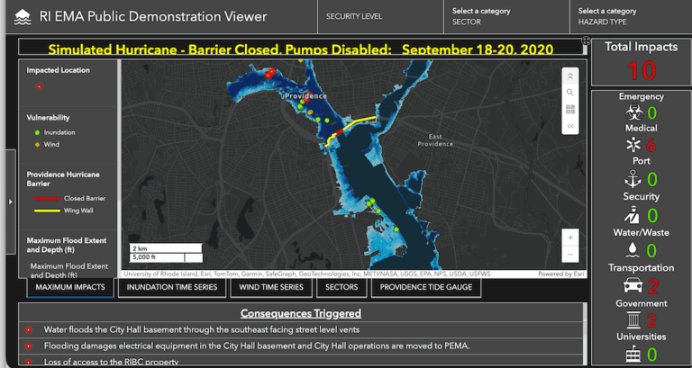
A CHAMP dashboard shows emergency managers which facilities and assets are at risk.
Participants worked through realistic storm scenarios while examining what information journalists need to report with confidence, how emergency managers use forecasts to make decisions, and where additional context can make complex hazard information more useful.
Read the Esri ArcWatch feature
Read related article on hazard communication workshop
–Meredith Haas, Rhode Island Sea Grnt