
The Woonasquatucket River Greenway plants never stop working
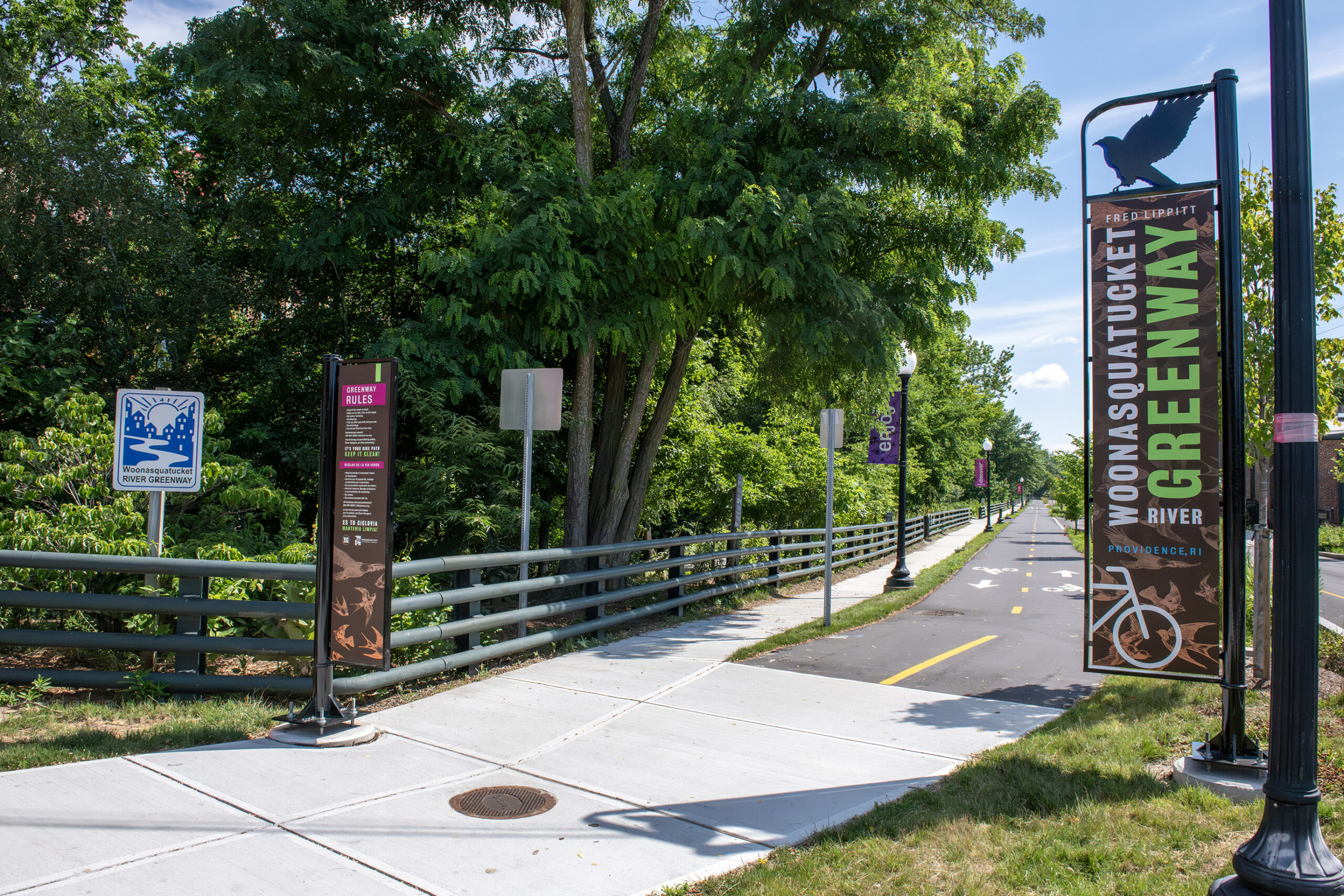
The recent $11.5-million Woonasquatucket River Greenway renovation added a bike lane and an accessible boat ramp for canoes and kayaks as well as improved stormwater management.
The Woonasquatucket River was once nearly invisible. Its banks in the Olneyville section of Providence were overgrown, filled with trash, and surrounded by derelict industrial sites, according to the Woonasquatucket River Watershed Council (WRWC) website.
After three decades of fundraising, advocacy, and a string of revitalization projects, the Woonasquatucket River Greenway is now an oasis in this urban center.

Casey Tremper, coastal resilience specialist with Rhode Island Sea Grant, and Jarrod Holgate, WRWC stormwater field supervisor, help lead a walking tour of the Woonasquatucket River Greenway.
Renovation transforms the river
The WRWC, which grew out of an earlier organization, gave a tour of the most recent project, an $11.5-million renovation that has included adding a dedicated bike lane, ADA-accessible features, and a stormwater management system that includes numerous native tree and shrub plantings and a “floodable” park.
The area in the past was highly prone to flooding, with precipitation running down Eagle Street and flowing into the river nearly unchecked, bringing trash and contaminants with it. Today, a multi-faceted approach does four key things to reduce this threat: Collect, capture, treat, and release stormwater, said Jarrod Holgate, WRWC stormwater field supervisor.
Trees are a significant part of that process, said Alicia Lehrer, executive director of the WRWC. They take up much more water than any other vegetation in the greenway, and, she added, “they respire the water out of their pores, so that some of the water that they capture goes straight up into the air, and so never gets into that stormwater system.”
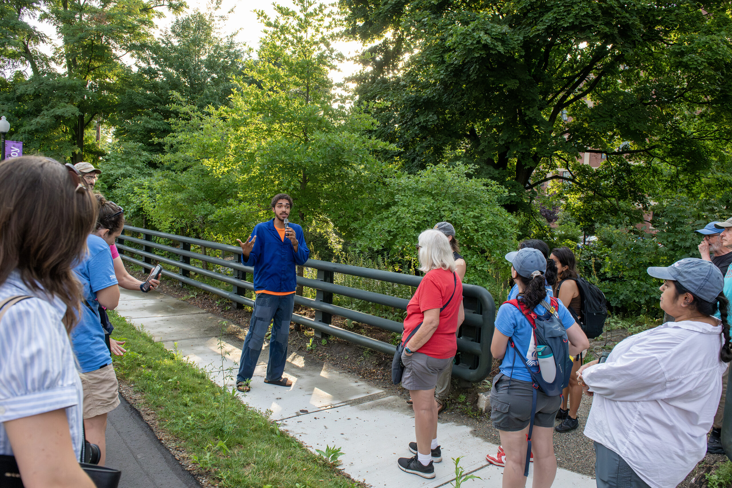
Kuno Haimbodi, WRWC river ranger and tree steward, said the WRWC cares for the trees in the greenway to ensure they grow to optimally treat stormwater and provide shade to pedestrians, cyclists, and motorists.
Wetlands at Work
The WRWC carefully selected the native species of trees to plant. “A lot of this area was once wetland. It was the Great Salt Cove,” said Kuno Haimbodi, WRWC river ranger and tree steward. The WRWC planted species that thrive in wetlands, such as sweet pepper bush and tupelo, a Muscogee word meaning “swamp tree,” Haimbodi said.
“Marshes and wetlands being the kidneys of the earth [are] doing a lot of the processing of those toxins [from the] waters,” he added.
He pointed out the mulch at the base of the newly planted trees, another important component of the stormwater capture and treatment process.
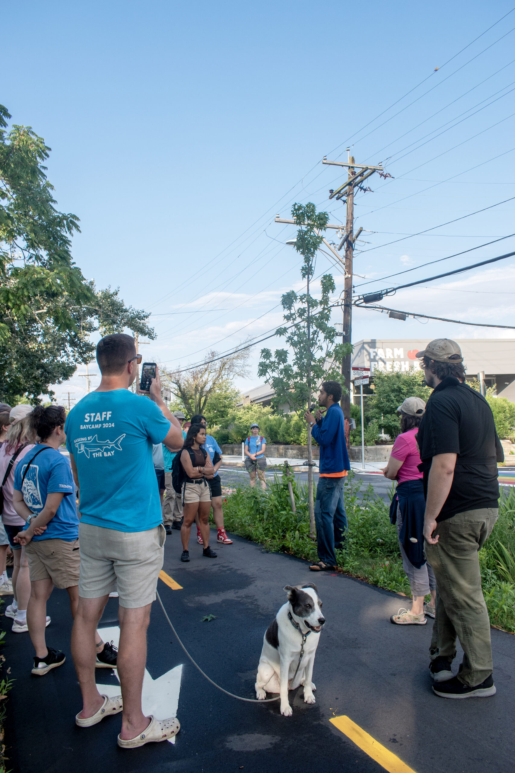
Haimbodi stopped at one of the newly planted greenway trees, which will benefit from a structure underneath the pavement that will prevent its roots from getting compacted and will allow it to more easily drink up stormwater.
Photo by Isabella Carmichael, Rhode Island Sea Grant Communications Intern
“When water in these really rapid storms that we get hits bare soil, it’s easy to think that that will just start infiltrating, percolating down. But what will happen often is, it will just run off. And so this creates an opportunity, a cushion for the water to settle in and allow that percolation process to begin.”
The trees are valuable to stormwater management even in the winter.
“We’ll basically take cuttings of the hardwood during the dormant season of some of these plants, put them along the riverbank to help stabilize it, but also to help capture some of that stormwater,” Haimbodi said.
“These plants have so many gifts, and they’re doing so much even when you can’t see it.”
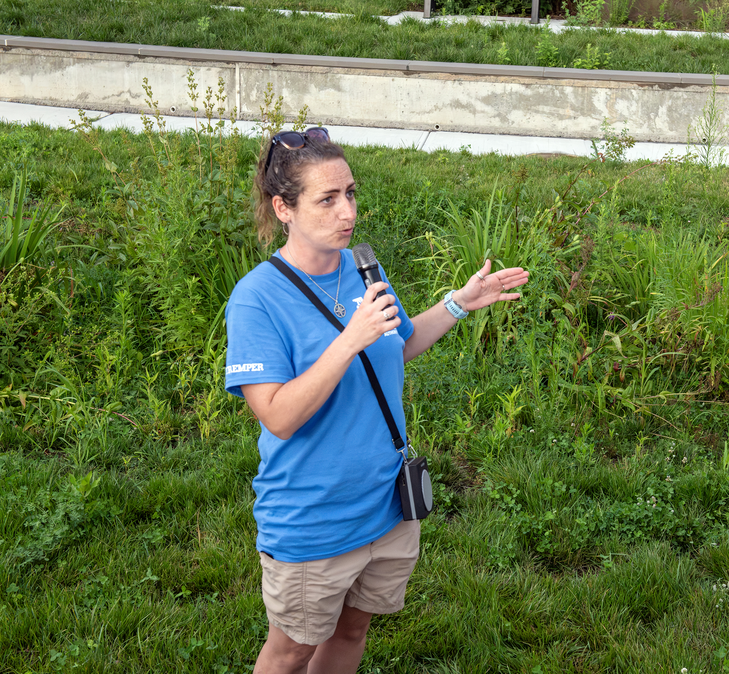
“MyCoast is a volunteer crowdsourcing tool for pictures of flooding—you just snap a photo, and the app tags the location, time, and weather so scientists and policymakers can see where the problems are.”
—Casey Tremper, speaking about how the MyCoast RI website/app helps track flood-prone areas in Rhode Island communities. She is standing in one of the first intentionally “floodable” parks in the state, designed to capture stormwater before it flows into the Woonasquatucket.
Join Our Walks!
This walk was part of an annual series sponsored by Rhode Island Sea Grant and the Rhode Island Coastal Resources Management Council highlighting shoreline access and coastal resilience.
To join us for future walks, please visit our Eventbrite page.
–Monica Allard Cox, Rhode Island Sea Grant