
A new framework helps communities measure the value of coastal access at risk from sea level rise.
We often think about sea level rise in terms of flooded roads and damaged homes. But another loss is happening more quietly: our ability to reach the coast.
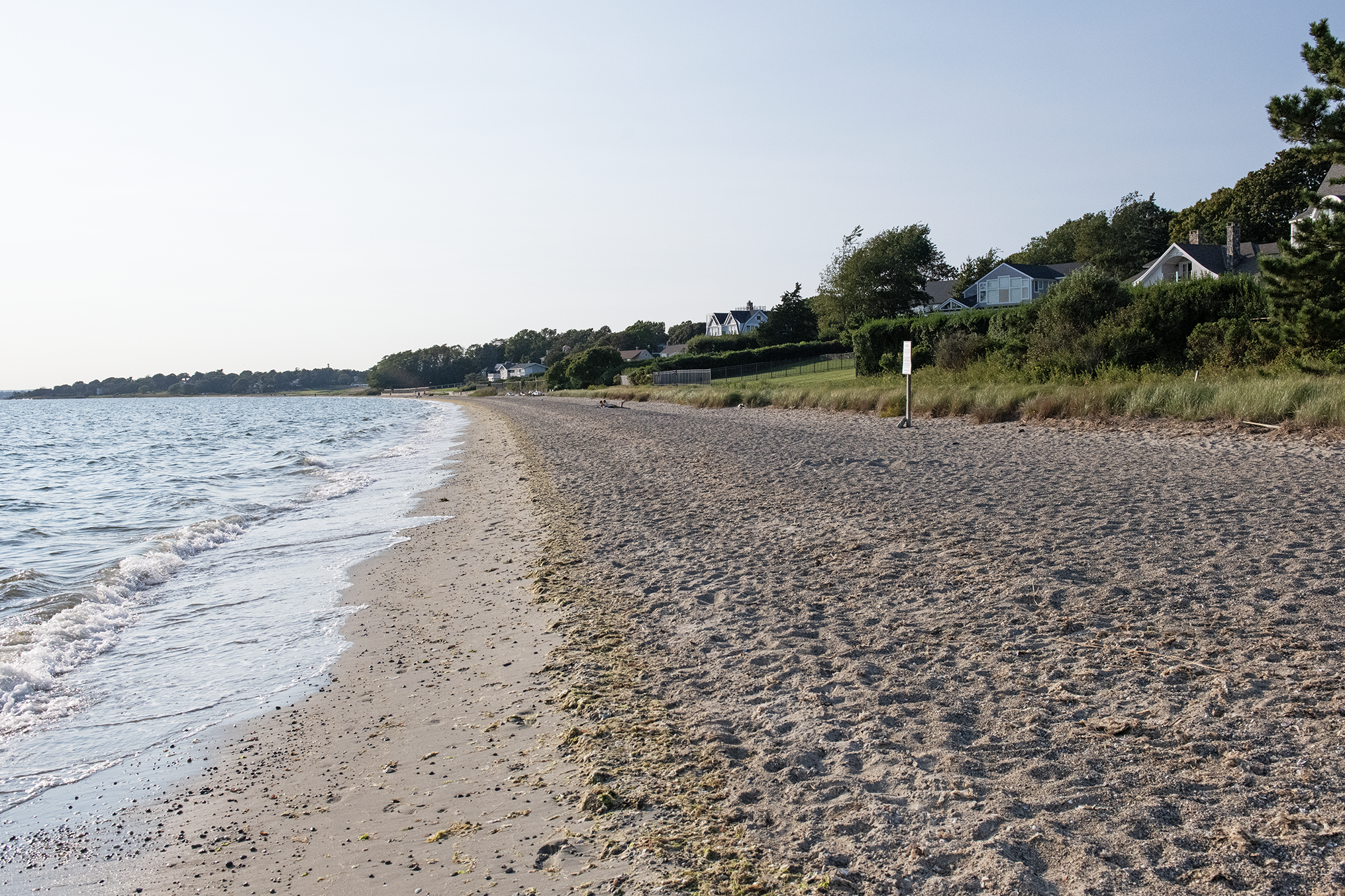
Part of the problem is a process known as coastal squeeze. As rising seas push inland, shorelines have less room to move because they’re hemmed in by roads, seawalls, homes, or natural bluffs. The result is that beaches, marshes, and other shoreline areas can shrink or disappear, reducing—and in some cases eliminating—public access to those places.
The choices communities make in response can shape what is preserved or lost.
A Rhode Island Sea Grant-supported study offers a new way to inform those decisions by looking at coastal vulnerability through the lens of public access. While traditional sea level rise assessments often focus on impacts to homes, roads, and other infrastructure, researchers examined what rising seas could mean for the places people use to reach and experience the coast.
To examine that vulnerability, the team mapped 118 public shoreline access sites in the Bristol County communities of Barrington, Bristol, and Warren, which were selected because they are among Rhode Island’s most vulnerable to coastal flooding. More than half of those sites are within 200 feet of a coastal structure, such as a seawall, putting the shoreline features they provide access to at risk of coastal squeeze as seas rise.
“It doesn’t bode well for the future,” said Nathan Vinhateiro, a co-author of the study and science director of the University of Rhode Island’s Coastal Institute. “There are some hard decisions coming about moving vulnerable infrastructure to let beaches and marshes move, or losing access to the coast in front of these structures.”
Many of these sites are already vulnerable to flooding. Of the 118 sites, 74 (63%) are expected to flood during a coastal storm with a 10% chance of occurring in any given year under present-day sea levels. With three feet of sea-level rise, 27 sites would flood even without a storm. As seas continue to rise, the kind of flooding associated with today’s storms is also expected to become more frequent.
But knowing which sites are vulnerable only tells part of the story.
Using anonymized smartphone visitation data, the researchers estimated how people use different shoreline access sites and the recreational value associated with those visits. They then paired those estimates with the flooding analysis. The resulting framework identifies not only which access sites are physically vulnerable, but also where communities stand to lose greater recreational value.
“It’s fairly straightforward to identify areas that are susceptible to future restrictions on access,” Vinhateiro said. “But placing a recreational value, or loss, on these sites helps identify where it may be worthwhile to focus mitigation strategies or modify access to a site.”

A CoastSnap image from Latham Avenue captures the shoreline several hours before high tide. Developed shorelines like this illustrate the challenge of coastal squeeze, as rising seas push beaches and coastal habitats landward while homes, roads, and other development limit where they can move.
Looking at those factors together revealed patterns that neither measure could show on its own. Latham Park, for example, stood out for its combination of relatively high recreational value, estimated at nearly $4 million for the season studied, and greater exposure to sea level rise than similarly valued sites.
“Knowing that Latham Park is exposed to current and future flooding alone does not tell us much about the risk for the community,” said Nate Merrill, an environmental economist and lead author of the study. “Knowing it is exposed to current and future flooding, and that it is well visited and valued based on people’s behavior, tells us the more complete story.”
Although the study focused on Bristol County, the framework was designed to be transferable, allowing coastal communities elsewhere to evaluate not only where sea level rise threatens public access, but also what stands to be lost.
“I would like to see it applied to whole coastlines of counties or even states,” Merrill said. “Representing people’s use of the coast at a fine spatial and temporal resolution makes including people’s values in sea-level rise planning more feasible.”
Read the Research
Read the full study, Public coastal access at risk: Integrating social and environmental data to assess vulnerability to sea level rise, published in Shore & Beach.
– Meredith Haas, Rhode Island Sea Grant