Tony Murgo, also a Bristol town planning board member, uses MyCoast to track flooding
Right after a storm in December 2023, Tony Murgo, a lifetime Bristol resident, caught sight of something new. “The creek was so full, I really couldn’t believe it what I was seeing.”
He was referencing Silver Creek, near the busy intersection of Hope and Washington streets, where many people frequent the Sip N’ Dip coffee shop.

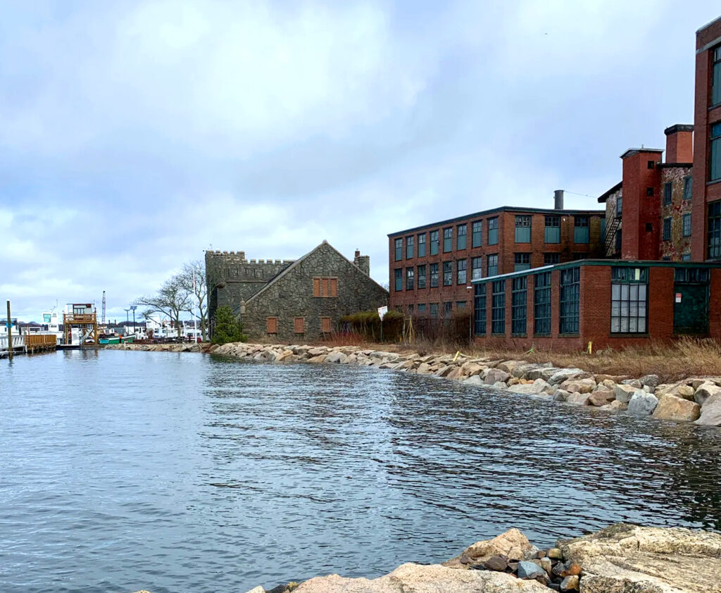
High tide rises close to Bristol’s Maritime Welcome Center (far building) in this MyCoast photo by Tony Murgo.
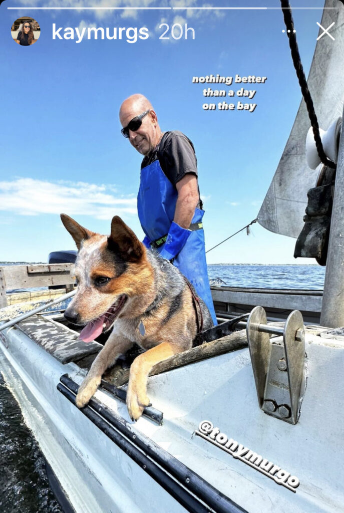
A quahogger for over 40 years, Murgo is as comfortable on water as land, and also serves on the town’s planning board. Both roles give him the opportunity to think about how environmental issues interlace with human activities, with climate change high up on the list, especially in terms of flooding and erosion tied to strong storms and sea level rise.
“We need to be thinking about how we’re preparing,” said Murgo. “I’m thinking about our sewer treatment facilities, for instance. We don’t want those impacted by flood or stormwater issues.”
He’s found MyCoast RI to be a useful tool to document the change he sees. MyCoast is an online platform that allows users to upload photos with information (called “reports” in the app) capturing flooding and damage from storms and the emerging high-tide flooding that is linked to sea level rise. Murgo learned about the app from Bristol Town Planner Ed Tanner and Community Development Director Diane Williamson through his participation on a town climate change working group. He started using it right away, logging more than 20 flooding reports over two years from low-lying areas around Bristol.
He and others from the working group encourage others to use MyCoast, as the pictures and data can help government decision-makers, including himself, understand where, when, and how parts of the town are being impacted by high tides, storms, or sea level rise.
“The more information we have, the better we can talk about it and address it,” said Murgo.
—By Sue Kennedy, Rhode Island Sea Grant/Coastal Resources Center Coastal Program Communications Specialist
For more on Bristol areas of flooding concern and how MyCoast is helping track them, visit this StoryMap by URI Masters in Environmental Science and Management student and Rhode Island Sea Grant/CRC Coastal Resilience Fellow Olivia McGranaghan.

