Tucked between weathered fences and manicured lawns, Rhode Island’s public rights-of-way to the shoreline often go unnoticed. These paths, sometimes no wider than 10 feet, are often overlooked as private property. A walking tour of the Potowomut neighborhood, a peninsula on Greenwich Bay in Warwick, showcased several coastal rights-of-way (ROWs) and the public’s enduring right to use them.
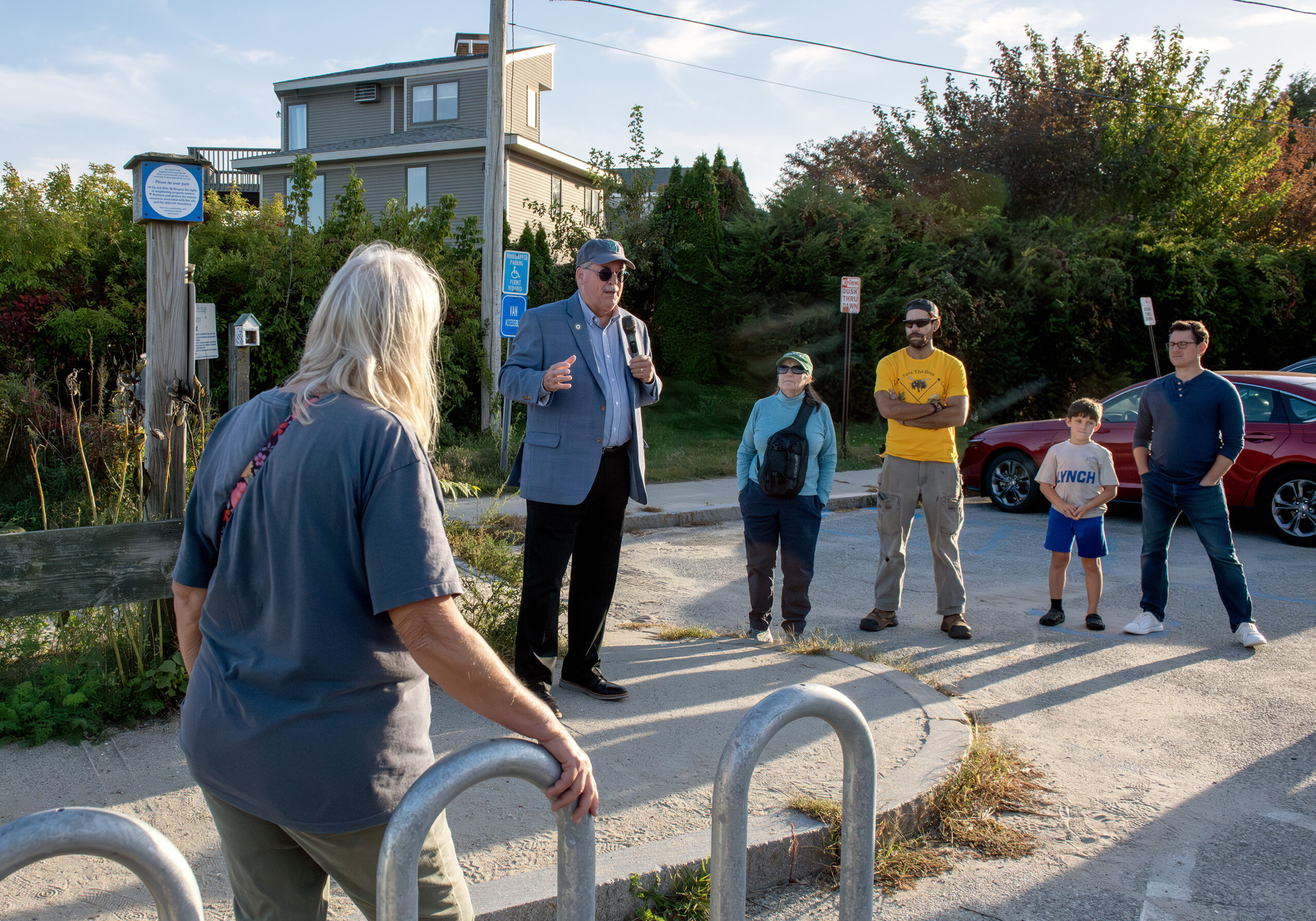
Before embarking on the walk, State Senator Mark McKenney highlighted the 2023 lateral shoreline access law. Its goal was “to clarify the issue so that the average person walking along the beach would have a reasonable chance of determining” where the public beach ends and private property begins, he said. The most recent high tide line, often marked by seaweed, plus 10 feet, delineates public access laterally to the shore.

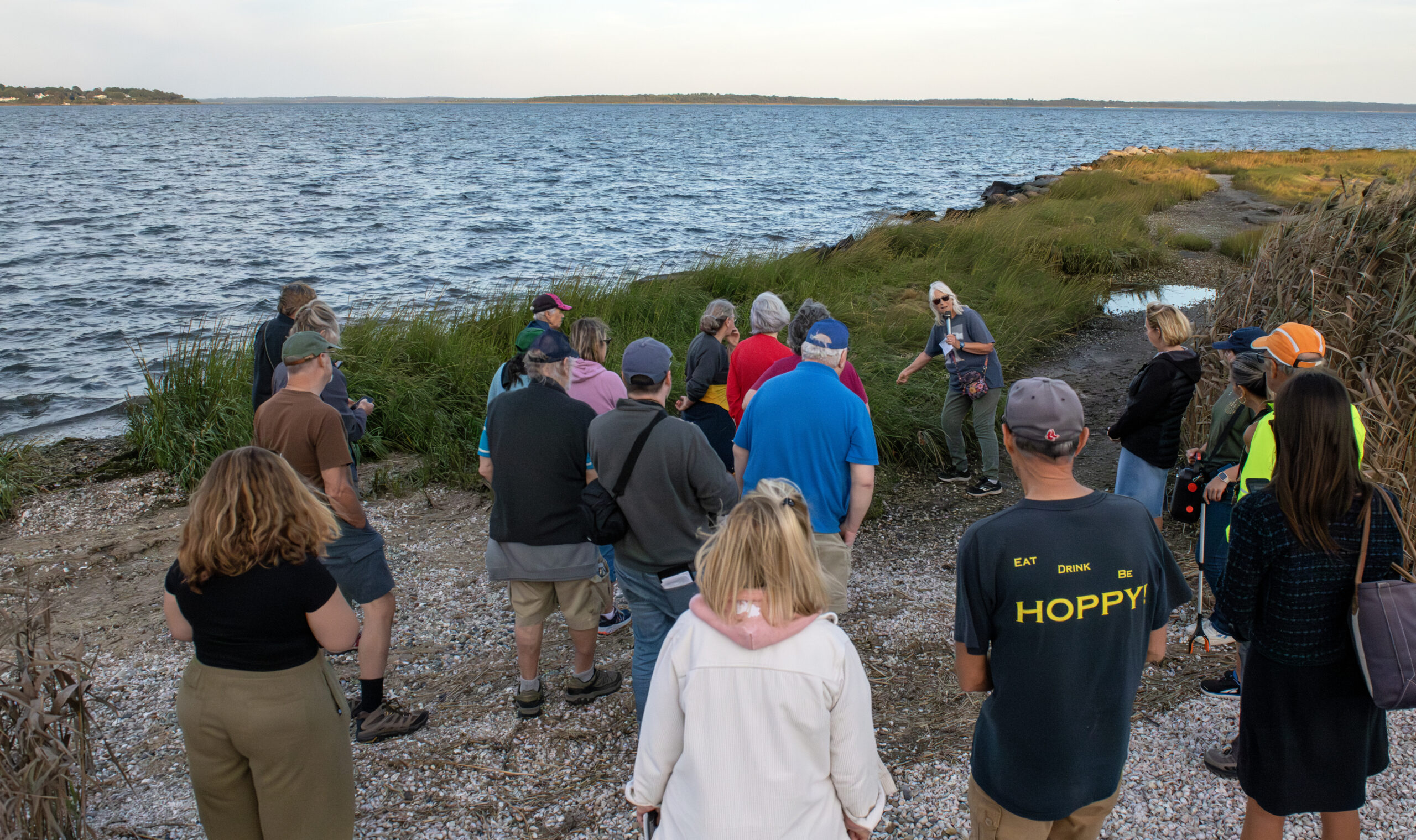
Janet Freedman, coastal geologist, points out how saltwater plants in a marsh can indicate where the public shore is compared to private property, where brackish or freshwater plants may grow.
Warwick Councilman Vinny Gebhart addressed one of the obstacles to accessing these public sites: parking. Over several decades, many “no parking” signs were installed without proper ordinances to support them. Gebhart worked with the Warwick Police Department and the Department of Public Works to address the issue, noting that now, “if you see no parking signs, don’t park there, because it is legitimate.”
At one of the first stops on Bradford Avenue, Janet Freedman, senior fellow with the URI Coastal Institute and retired coastal geologist with the Coastal Resources Management Council (CRMC), showed the participants a model path. “This is a really good example,” she said, pointing to a CRMC sign with a QR code linked to a map of all CRMC-designated rights-of-way and the direct path to the beach.
As the group moved from one ROW to the next, they encountered subtle barriers that could easily deter public use: narrow paths between private homes, obstructions to the path, and the absence of signage. ROWs aren’t obvious, and it can be difficult to determine whether the path ends in a shoreline access site.
“We know some of them look like they might be private property,” said Monica Allard Cox, communications director for Rhode Island Sea Grant, “We want to encourage people to get to know what these rights of ways look like and to feel comfortable using them.”

State Sen. Mark McKenney speaks to walk participants at Sandy Point Beach about the lateral shoreline access law that he co-sponsored to help clarify the public versus private beach in Rhode Island.
Over the summer, the CRMC and Save The Bay worked to clear obstructed ROWs and delivered posts with signage to be installed, explained Laura Dwyer, public education and information coordinator for the CRMC.
“I really encourage anybody who is walking along the shore, sees something that looks weird or new that shouldn’t be there, please reach out to [CRMC]” added Dwyer.
Walk attendees also participated in a trash cleanup as the tour progressed. In collaboration with Save The Bay, the Clean Swell app tracks what types of trash are picked up, helping scientists and advocates tackle ocean trash. During the walk, participants collected about three pounds of trash.

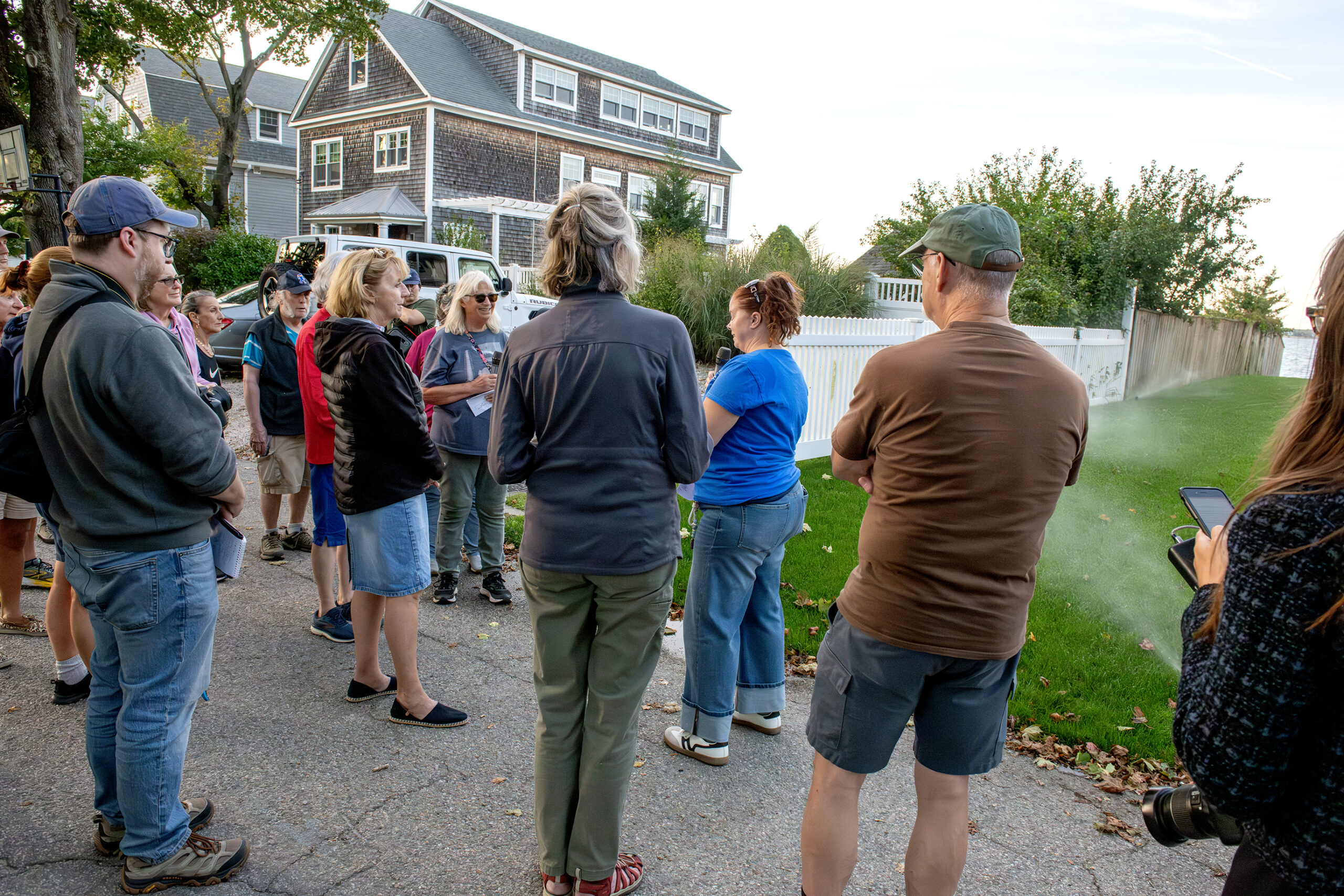
Laura Dwyer, CRMC public educator and information coordinator, speaks to participants at a right-of-way on Charlotte Drive. The group was deterred from walking down the ROW due to the spray from the sprinklers installed by an adjacent homeowner.
Warren Nov. 7
The Potowomut walk was the third in a series of walking tours that highlight challenges, opportunities, and progress for coastal access, green infrastructure, stormwater management, and more.
The next tour on November 7 in Warren will highlight coastal resilience as well as shoreline access.
Resources
- CRMC Law
- Shoreline-RI.com
- Clean Swell App – Trash Tracker
- 2023 CRMC Law – RISG Story about Senator McKenney
- CRMC Map of ROWs in RI
—by Sophia Milman, Rhode Island Sea Grant Communications Intern
