Walking tour highlights preservation efforts, development pressure in Warwick coastal community

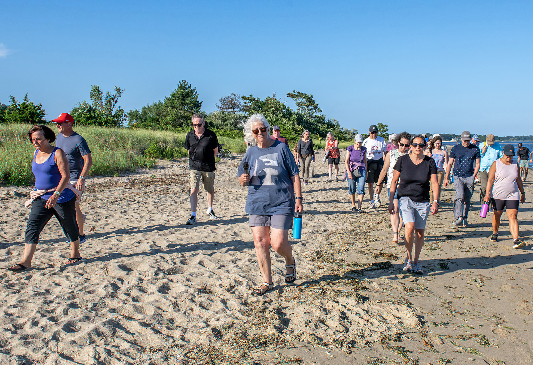
Janet Freedman leads a walking tour of Conimicut Point.
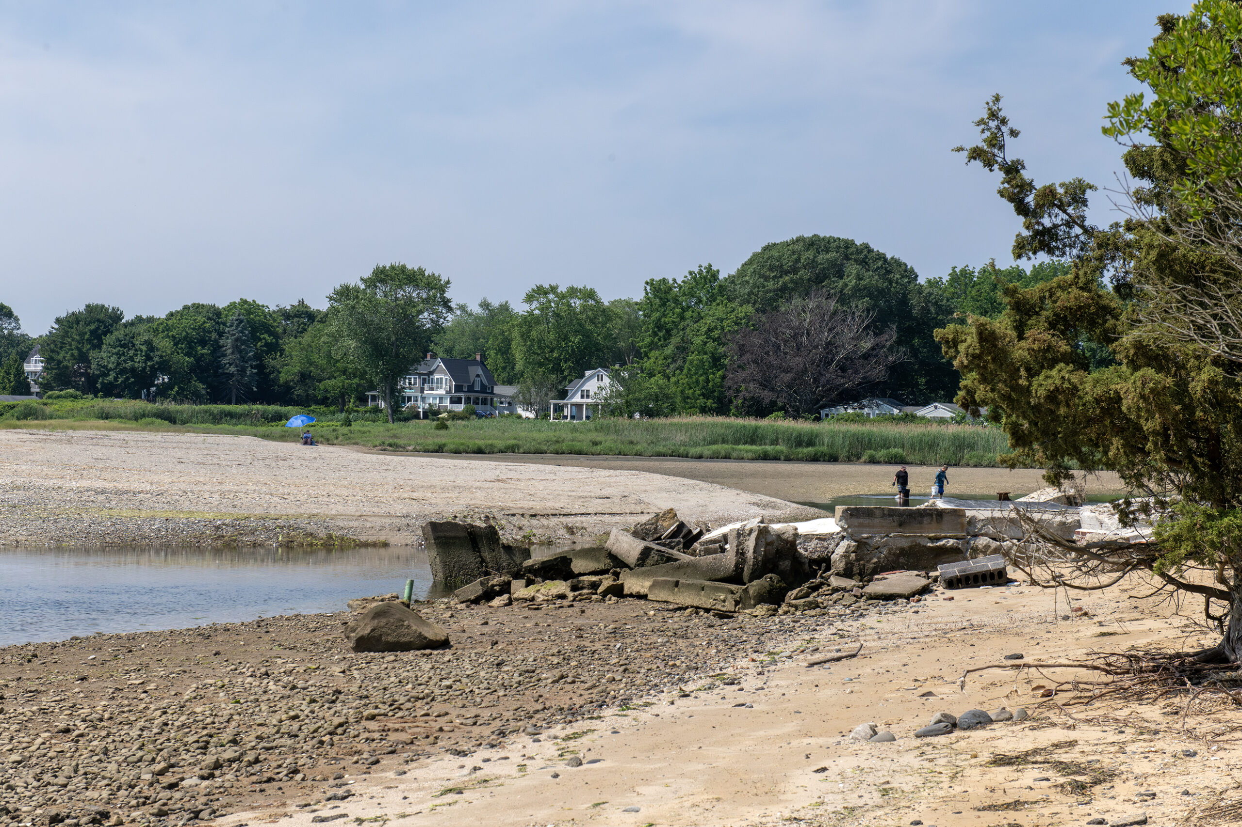
Located on a narrow peninsula on the west side of Narragansett Bay, Warwick’s Conimicut Point is shrinking. Evidence of erosion is everywhere. Building foundations protrude from the shoreline, left behind by hurricanes that swept away dozens of feet of beach. The Conimicut Point marsh is expanding with sea level rise, encroaching on roads and properties. The community, and the city of Warwick, are grappling with the best way to adapt.
On July 13, Rhode Island Sea Grant, the city of Warwick, University of Rhode Island (URI) Coastal Institute, URI Coastal Resources Center (CRC), and the Coastal Resources Management Council (CRMC) hosted a walk through the neighborhood to highlight the past, present, and future of these coastal vulnerabilities and changes.
Janet Freedman, senior fellow from the URI Coastal Institute and former coastal geologist for the CRMC, discussed the changing coastline.
Conimicut is especially vulnerable to erosion and rising waters due to its proximity to the shore and low-lying infrastructure. Freedman pointed to data from the Conimicut Lighthouse tide gauge, which has been tracking water levels since 1930.
In that time, Rhode Island has seen close to a foot of sea level rise. “In the last 30 years,” Freedman noted, “we’ve had over 6 inches”—a rate roughly 50% higher than the long-term average. “So it’s definitely accelerating.”
“Our coastlines have higher sea level rates than the global average because these are relative to the land,” added Freedman.“Our land is sinking in response to the glacial ice sheets that used to cover this land … But most of why we’re seeing high sea levels has to do with the ocean currents.”
The Greenland ice sheet is melting, pouring fresh water into the nearby ocean. This affects the density-driven currents in the Gulf Stream. As a result, the Gulf Stream currents are slowing down, “and that tends to pile water up against our shoreline,” said Freedman.

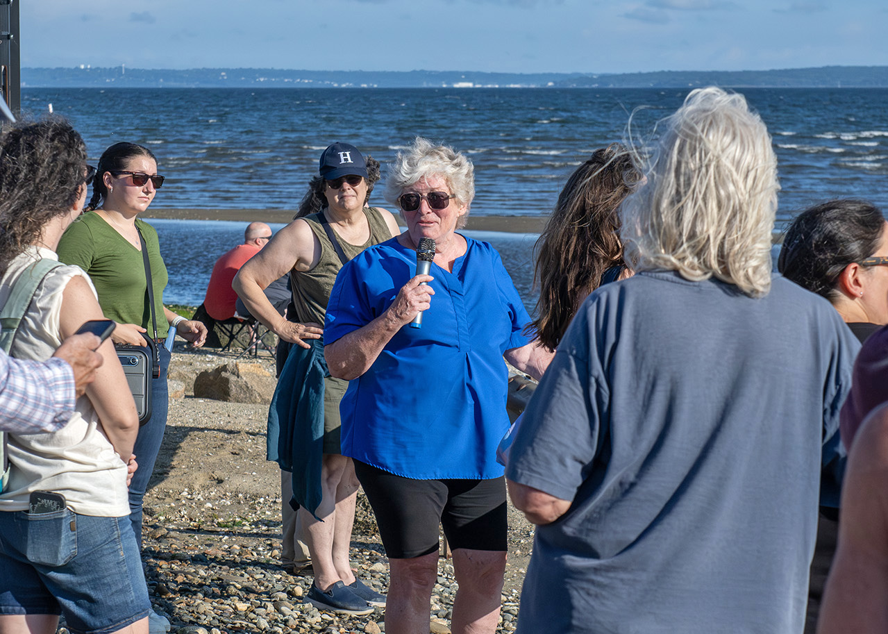
Leslie Derrig speaks to participants during walking tour.
Leslie Derrig from the Warwick Land Trust Committee discussed the historical events that impacted Conimicut Point, including the 1939 and 1954 hurricanes that each caused significant damage, sweeping away homes and forcing retreat. Along the shore, foundations and other structures from these homes can still be seen. “Every year that there’s a big storm, you see another foundation coming up” along with washing machines, old furniture, and anything that was previously swept away, Derrig explained.
Due to the changing marsh area, the city of Warwick completely closed and removed pavement from Coldwell Street, allowing nature to take over. Some residents have already retreated from the shoreline, from both Coldwell and Spadina Avenue, on either side of the marsh. The Warwick Land Trust acquired 13 properties along this marsh to further protect Warwick’s natural resources. Derrig expressed her concern that federal and state regulations were still allowing for development in areas of Conimicut known to flood.
Derrig encouraged residents to attend Warwick zoning board meetings to speak up if they have concerns about these new constructions.
Additionally, Casey Tremper, coastal project manager with Rhode Island Sea Grant and CRC, highlighted tools, such as MyCoast, to encourage the community to participate in helping the state monitor flooding from storms and high tides. MyCoast is a volunteer-driven application that allows users to upload pictures of flooding impacts such as inundated streets and eroded beaches across Rhode Island.

An old foundation remains on the shore of the Conimicut Point marsh.
This walk was one of a series by Rhode Island Sea Grant, the URI Coastal Institute, and the Rhode Island Coastal Resources Management Council highlighting coastal resilience and shoreline access in Rhode Island.
—by Sophia Milman, Rhode Island Sea Grant Communications Intern
More Information:
- Powerpoint from Janet Freedman with aerial pictures of coastal changes over time in Conimicut Point, Warwick, RI.
- Learn more about Rhode Island’s Lateral Access Law.
- MyCoast seeks volunteers to capture effects felt from high tides and storm events across Rhode Island.
- View StormTools to illustrate storm inundations under different conditions across Rhode Island.
- Visit First Street to learn more about the connection between climate and financial risk.
- Stay updated on shellfish harvest area closures across the state.
- Get more information and data about NOAA tide gauges from Permanent Service for Mean Sea Level.
