News
Latest News
events
Latest News
Remembering Neil Ross
When I learned that Neil Ross, Rhode Island Sea Grant's first extension agent, had passed away, I immediately thought of the one time I had met him...
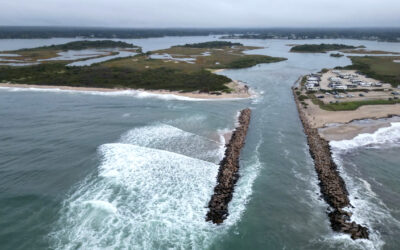
Charlestown Breachway October 2024 Repairs Are Just the Beginning—Hopefully
Speakers describe long-term plans for fixing breachway and replanting dunes at public event October 30 A breachway of some kind connecting Ninigret...
Community Engagement & Communications Fellowship 2025
Opportunity for graduate students to gain experience in community resiliency, economics, offshore wind, and communications.
Four URI Grad Students Selected for 2025 National Knauss Marine Policy Fellowships
Four University of Rhode Island graduate students are among 88 nationally who have been awarded John A. Knauss Marine Policy Fellowships through the...
Barrington Beach Walk: Understanding Shoreline Access, Sea Level Rise, and Stormwater
The group of over 40 people gathered on a narrow walkway at Barrington Town Beach drew quizzical looks from passersby. Perhaps it was the large...
Bringing Back the Charlestown Breachway
In southern Rhode Island, a critical piece of coastal infrastructure is in trouble. The Charlestown Breachway is a rock jetty lining the channel...
Law Clinic Engages Students in Block Island Coastal Resilience
Law students apply a legal and policy perspective to addressing climate impacts to Block Island’s infrastructure and community resources.
Rhode Island Sea Grant Receives $234,000 for Advanced Aquaculture Training
Rhode Island’s aquaculture industry provides over $6M annually in farm-gate value and employs nearly 400 people. Aquaculture is one of the state’s...
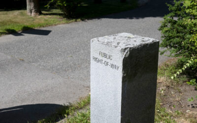
Bristol Walking Tour Highlights Hidden Shoreline Access Gems—Including the People Who Care for Them
Shoreline access signs sometimes disappear or are damaged or obscured. The town of Bristol has solved this problem at a number of their...
