Program Adds Riverine Flooding to Data Collected, Partners with Woonasquatucket River Watershed Council, RIDOT
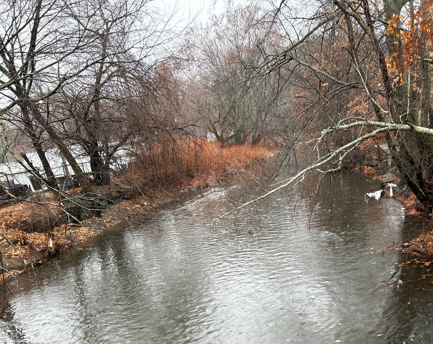
Ranfall on the Woonasquatucket River, Providence, in December 2024. MyCoast photo by M. Estrada.
The year 2024 saw significant growth for the MyCoast RI program. MyCoast RI volunteers submitted more than 600 photos of king tides throughout coastal Rhode Island, more than doubling 2023’s photo count. King tide reports in 2024 represented 19 Rhode Island communities, with Warwick and Portsmouth submitting the largest numbers, 56 and 49, respectively. Close behind was Bristol with 38 reports.
MyCoast RI also grew through new partnerships with the Rhode Island Department of Transportation and the Woonasquatucket River Watershed Council. These prompted the MyCoast team to begin to incorporate inland riverine flooding to data collected, and new volunteers introduced to the effort though the watershed council have submitted reports from areas of Providence not previously covered.
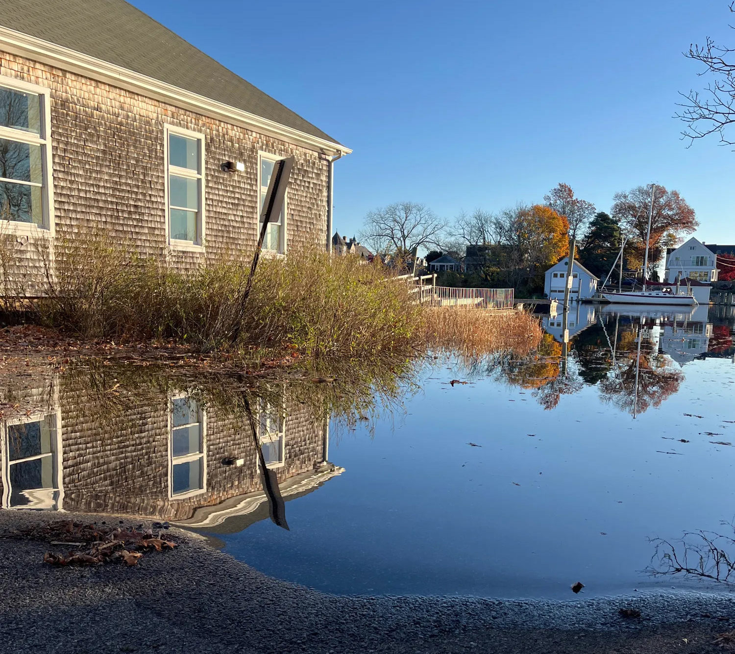
King tide flooding on East View Street in Warwick in November 2024. MyCoast photo by E. Whalen.
The option to add short video clips as part of reports is another new feature of MyCoast. Volunteers using the MyCoast iPhone or Android app should update the app and will see a new button for adding video to a report. Video size is limited to 20 MB, clips should be brief—a few seconds of waves; a quick pan of a flooded area.
To learn more about king tides, visit MyCoast’s RI King Tides Initiative, where the dates for all king tides in 2025 will be posted soon. And if you haven’t volunteered for MyCoast yet, please consider it! MyCoast photos help communities and their leaders better understand the impacts of climate change on neighborhoods from higher high tides and increased storms. For more information, check out MyCoast RI or contact Casey Tremper.
MyCoast RI partners: Rhode Island Coastal Resources Management Council, URI Coastal Resources Center, Save The Bay, Woonasquatucket River Watershed Council, Rhode Island Department of Transportation, and Rhode Island Sea Grant.