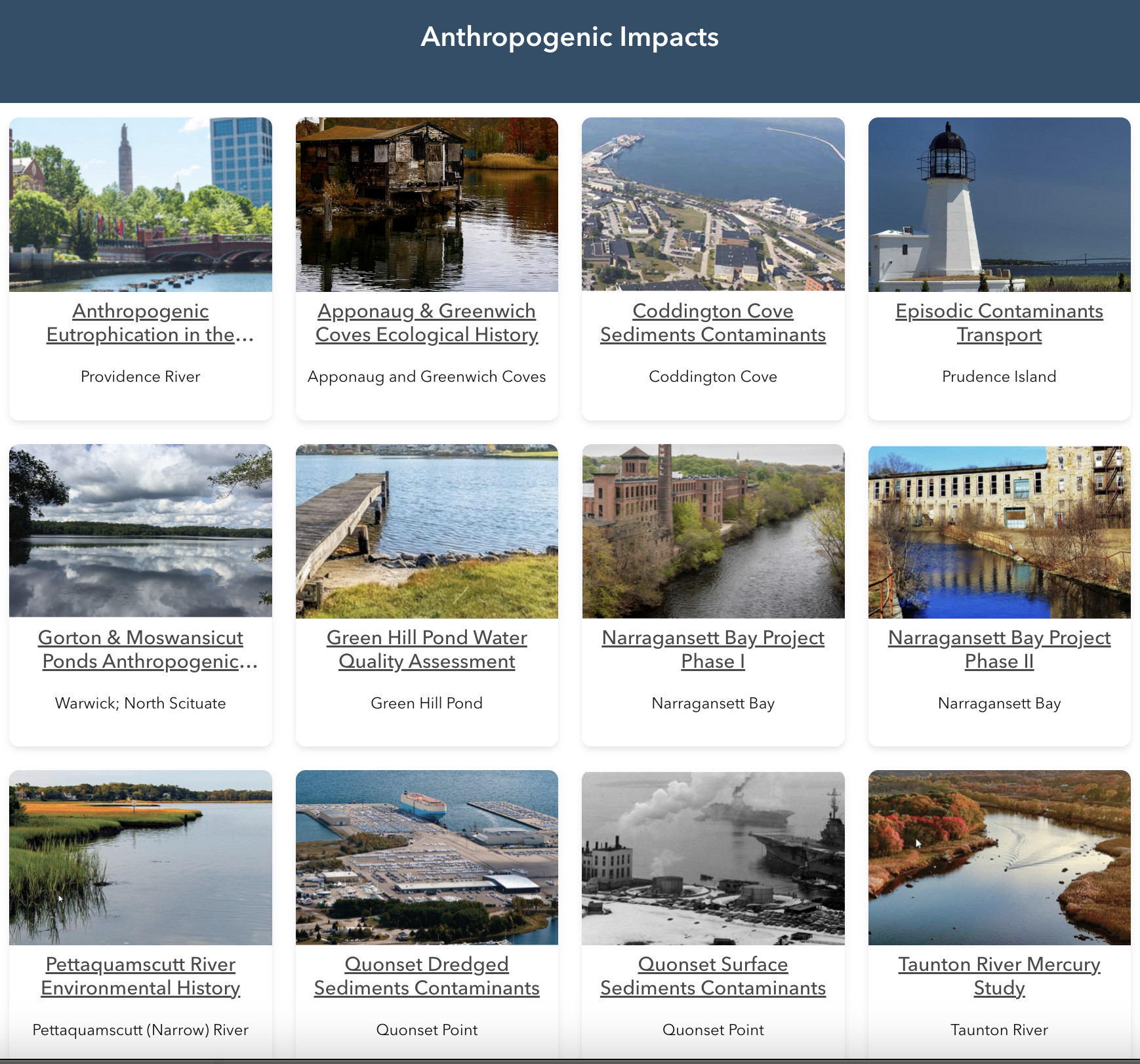
Datasets from nearly four decades of research on Rhode Island’s marine and estuarine ecosystems from the University of Rhode Island’s Coastal Mapping and Paleomagnetics Laboratory (CMPL) are now available through a new website to support ongoing research and management efforts.
Between 1984 and 2021, the CMPL’s work, led by Dr. John King, covered numerous projects that examined human impacts on Narragansett Bay sediments, mapped benthic habitats, and identified offshore sand and gravel deposits for beach replenishment. Collaborating with Native American communities, the lab also developed culturally sensitive protocols for offshore wind turbine siting—research critical to Rhode Island’s ongoing renewable energy initiatives. However, when Dr. King retired in 2021, the lab closed, leaving many of its datasets in outdated formats or stored as difficult-to-access “grey literature,” limiting its availability to scientists, policymakers, and the public.
“Legacy datasets are invaluable resources because they represent environmental conditions at a unique point in time. This information cannot be replicated with contemporary research, but it is essential to understand ecosystem history and thoroughly inform contemporary management practices. If the data synthesis project had not been undertaken, many of CMPL’s valuable datasets would have been lost,” says Gibson. “Synthesizing each of these datasets made me realize what an important archive this is. We are so pleased that these data have been “rescued” and are now available for public use, thanks to Sea Grant’s support.”
Rhode Island Sea Grant hopes that these datasets will support a new generation of researchers and policymakers in addressing challenges to Rhode Island’s coastal and marine environments.
“Integrating the best available science into management decisions is core to our mission,” says Alan Desbonnet, associate director of Rhode Island Sea Grant. “These datasets are important to support ongoing research and improving out understanding of the changes in Narragansett Bay.”


