Speakers describe long-term plans for fixing breachway and replanting dunes at public event October 30

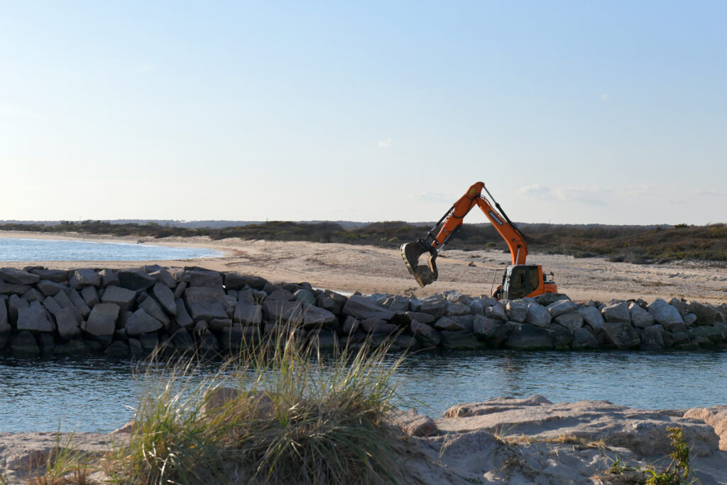
A backhoe places a rock on the west wall of the Charlestown Breachway as part of emergency repair work. Steve McCandless praised the contractor, RMA Environmental, for working quickly to repair the wall before projected high seas arose.
A breachway of some kind connecting Ninigret Pond in Charlestown with the Atlantic Ocean has been in place since the mid-19th century. From the beginning, the concerns have been the same, says Steve McCandless, the town’s GIS coordinator: “keeping the pond open for the boats to come in and out, also for the health of the pond, the health of the shellfish.”
McCandless spoke at an event at the breachway on October 30, attended by over 100 people, that was the first in a planned series of public updates on the breachway repairs that began earlier that month.
The breachway as it now exists was built in 1952. Despite little maintenance since then, McCandless said, it held up pretty well until recently. Hurricane Sandy in 2012 did some damage, and three consecutive storms in December 2023 through January 2024 created a large break in the structure on the west side, allowing water to flow through almost continuously both at low and high tide, bringing sediment into the pond and channel area. This sedimentation made it difficult for boaters to get in and out of the pond and reduced flow, potentially harming the health of the pond. The dunes started to grow back, McCandless said, but “then we started having smaller storms and king tides that just kept overwashing on top.”

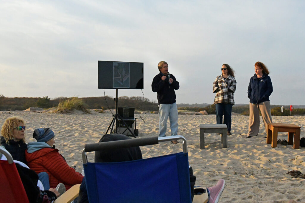
Steve McCandless, Alicia Schaffner, and Emily Hall discuss repairs to the Charlestown Breachway at an event October 30.
The breachway and the land on either side are owned by the Rhode Island Department of Environmental Management (DEM); the east side of the breachway is a state park while the west side belongs to the Division of Fish and Wildlife. To address the damage, the town of Charlestown and DEM partnered with the Rhode Island Coastal Resources Management Council, Rhode Island Sea Grant and the Coastal Resources Center, the University of Rhode Island, and the Salt Ponds Coalition, with support from the Rhode Island Infrastructure Bank. Over the summer, McCandless said, they worked to secure permits and financing with support from the Charlestown Coastal Ponds Commission, the Charlestown Town Council, and Rep. Tina Spears, and last week began work on an emergency repair to the wall that the team is also looking at as a pilot project for the larger undertaking of making the breachway more resilient.
What event attendees were able to see of the work that had been completed just the day before at the west wall was what will be the inner structure of the breachway.
“A lot of people have been calling saying, ‘Hey, the rocks are a little small,’” McCandless said. “They are right now,” he agreed, “We’re going to coat all of that, hopefully next year, if the funding comes through, with larger stones that are going to encompass it, [and] elevate it up to eight feet. It’s all part of the bigger design work that we have.”
The Salt Ponds Coalition monitors water quality in Ninigret Pond, and Alicia Schaffner, the group’s executive director, said that one concern with siltation is increased nutrients in the pond, and the impact that would have on the animals living in the pond as well as local residents, boaters, recreational fishers, aquaculturists, and marinas. “You don’t have that flushing, or you have reduced circulation, you still have all those stormwater inputs of nutrients [and] eventually we see, with the warmer temperatures, increased algal blooms. And we know increased algal blooms lead to decreased dissolved oxygen in the ponds. So those are all things that we want to avoid.”
While the coalition doesn’t have all its data from 2024 yet, Schaffner said that “I can at least say from the data we do have in regards to bacteria, we still had a great season. We had a couple of spikes after rain storms, but even with there being reduced flow overall through the course of the season, bacteria was well within acceptable limits.”
Emily Hall, coastal geologist for the CRMC, was involved with the permitting for the project, and spoke at the event as well. “We knew that this was a problem,” she said of the breach. “Forty percent of the state’s aquaculture is actually in the pond behind me,” she said, referring to Ninigret Pond. “And then, as we just heard, we have all of these environmental and ecological concerns as well.”
“The first iteration of plans that were submitted to our office were for sandbags. Sandbags can do a lot of good, and they’re also a lot cheaper than boulders. But we all kind of knew this is not ideal … We went back to the town and said, ‘Hey, you can have these in until the winter storms come. But you know, as well as we do, they’re not going to last through those storms like we had just last winter.’” The town and state were able to obtain funding to upgrade from sandbags to rocks.
While CRMC often denies permits for hardening shorelines, pre-existing infrastructure is considered differently. And as Hall said, “We like to refer to this as a ‘resilience project.’ Sometimes people see rocks and hard infrastructure like this, and they say, ‘How is that resilience?’ For one, this is resilient for the pond, right? We are maintaining that flowing system to make sure that all of the various coastal habitats here are healthy and thriving.” She added that the project is also economically resilient. “Rather than having to do a bunch of band-aid repairs every five years for the next 50 to 75 years, we’re hoping to do it once, and do it once well.”

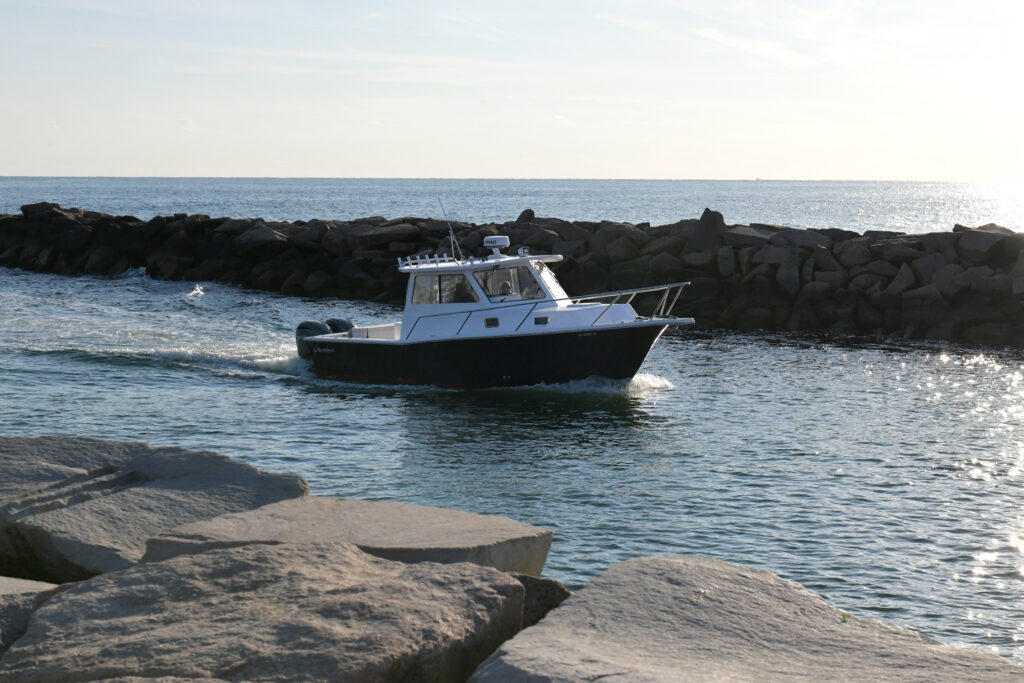
Shortly after the emergency repair was completed, some of the sand that had built up in the beachway began to be flushed out. Some areas are still very shallow, however, and navigation can be challenging.
“The final piece in this regulatory puzzle was the Army Corps of Engineers,” Hall added. The team sent the Army Corps police reports of boating accidents at the breachway, and the Corps issued an emergency assent.
One of the attendees asked whether dune restoration was part of the project, and McCandless answered that it is part of the longer-term plan that they are still seeking funding for.
One reason for restoring the dunes is to protect the area and Elbow Beach, which is right behind the breachway, from damage from off-road vehicles.
“When you drive down the beach and you’re driving parallel to the coastline, it does minimal amount of damage to the area,” he said. “When you drive up over that area that is trying to reform a dune, you break up all the roots, you break up all the vegetation, you break up everything that would establish a new dune system there. So if we can put something across there that’s going to help direct the water and also prevent people from driving up there, we’ll be able to recreate a dune system that will last, and hopefully sand will start to accumulate out in front of that dune system [and] It will start growing outwards.”
Another audience member asked if the sand that was building up inside and just outside the breachway had already started to clear with the repair of the wall.

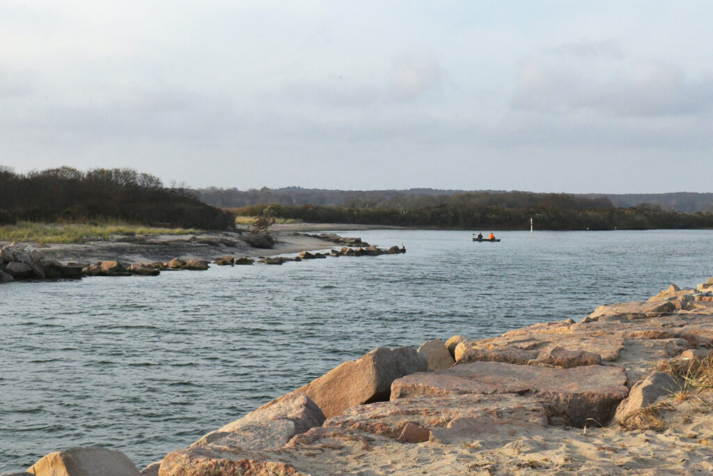
McCandless described a future dune restoration project that would protect Elbow Beach, seen here past the rocks of the breachway.
Yes, McCandless answered. The shallowness of the channel and the delta that had formed just outside the breachway had contributed to boats capsizing or running aground, but within days of the repair, sand had begun to be flushed out of both of those areas—not entirely, “but everyday it’s getting a little bit better,” McCandless said.
Was the town planning to dredge to speed up the process?
“When we dredge, normally, it’s about a $2 million project.” McCandless said, nearly half of which is just the cost of setting up the equipment and removing it afterwards. While the town would typically use dredged sand to replenish the town beach, in this case, the town would also use the sand to replenish the dunes in a future phase of the project as well as backfill behind the elevated breachway wall, assuming the funding comes through for the larger project.
“We don’t want to go and dredge it out, get the funding the following year, build this area and then have to buy sand to put in. So it’s not a definite, ‘Yes, we’re dredging,’ or ‘No, we’re not.’ If we get the funding to do the full project, we’re dredging. If we don’t get the funding, then we have to talk to people up above. We have to look at what’s happening through the summer with the boat traffic, can people get in and out? And also look at the water quality data: Is the pond having trouble?”
Hall emphasized the point: “This is a very dynamic coastal system … and we’re doing our best to respond dynamically. Unfortunately, what that means is a lot of these answers are, ‘We’ll see,’ and we will do our best to make a smart decision that’s going to work and that’s going to be worth the time and worth the money.”
Another audience member brought up the question of whose responsibility it is to repair the wall, noting that the breachway is owned by DEM, but that McCandless seemed to be spending a lot of time on the work.
“You’re right,” McCandless, a Charlestown resident himself, responded, “It is a state project, and we could have left it for the state to take care of. [But] it affects the town of Charlestown far more than it affects the rest of the state … And so when it comes right down to it, this is us, and if we lose this infrastructure, it has a bigger impact on [us]; I’m working for us, I’m working for me.”
– by Monica Allard Cox
McCandless shared a video of the breachway repairs being done, which is available on the town of Charlestown’s website on the GIS page: https://www.youtube.com/watch?v=iTtsO3RvpJI.
This event was organized by the Coastal Resources Center and Rhode Island Sea Grant with the town of Charlestown, the Rhode Island Coastal Resources Management Council, and the Salt Ponds Coalition. Other project sponsors are the Rhode Island Department of Environmental Management and the Rhode Island Infrastructure Bank.
For more information, please contact Casey Tremper at casey_tremper@uri.edu.
RELATED NEWS:
Bringing Back the Charlestown Breachway
URI leads team of researchers awarded $1.5 million NOAA grant: Research aims to protect New England coastal communities, national parks and wildlife refuges from impact of sea level rise and extreme weather
Charlestown Breachway’s temporary fix is complete (Westerly Sun)
