The Block Island Ferry terminal is vulnerable to threats from climate change, such as increased storms and rising sea levels.
On a sunny Tuesday morning in late June, students from the Roger Williams University School of Law Marine Affairs Institute’s Coastal Resilience Law and Policy Clinic boarded the Block Island ferry at Point Judith, traveling to the Ocean State’s southernmost town to learn about the unique environmental and infrastructure challenges it faces.
Led by Julia Wyman, director of the Marine Affairs Institute and the Rhode Island Sea Grant Legal Program, the clinic is a 10-week intensive summer course that tasks students with bringing their legal expertise to a resilience problem facing a coastal community, in this case the town of New Shoreham, Block Island.
The law students—Anna MacGillivray, Haley Sinsley, Kelci Gilot, and Ashley Kaplan—had a packed itinerary for their half-day visit, starting at the ferry terminal, a critical lifeline between New Shoreham and the mainland; traveling through the busy downtown to view sewer infrastructure and key local businesses; and finally visiting one of the many beaches that draw thousands of tourists to the island each year. Each stop highlighted a part of island life that is threatened by sea level rise, increased flooding, and stronger storms—with local experts explaining the tension between preserving the character of the town (and its massive tourism industry) and minimizing damage and harm from the relentless attack of the sea.
The clinic offers the students the opportunity to build their knowledge of local land-use law and planning, climate change law and policy, and hone their research and writing skills. Then, they must apply what they have learned to a real-world issue. This year’s clinic worked with the Sea Level Rise (SLR) Committee for Block Island, examining ways the town can plan for sea level rise and flooding from a legal and policy perspective. The visit ensured that the students interacted directly with stakeholders in New Shoreham, literally getting the lay of the land and considering how to apply their legal knowledge in the nuanced context of local values and realities.

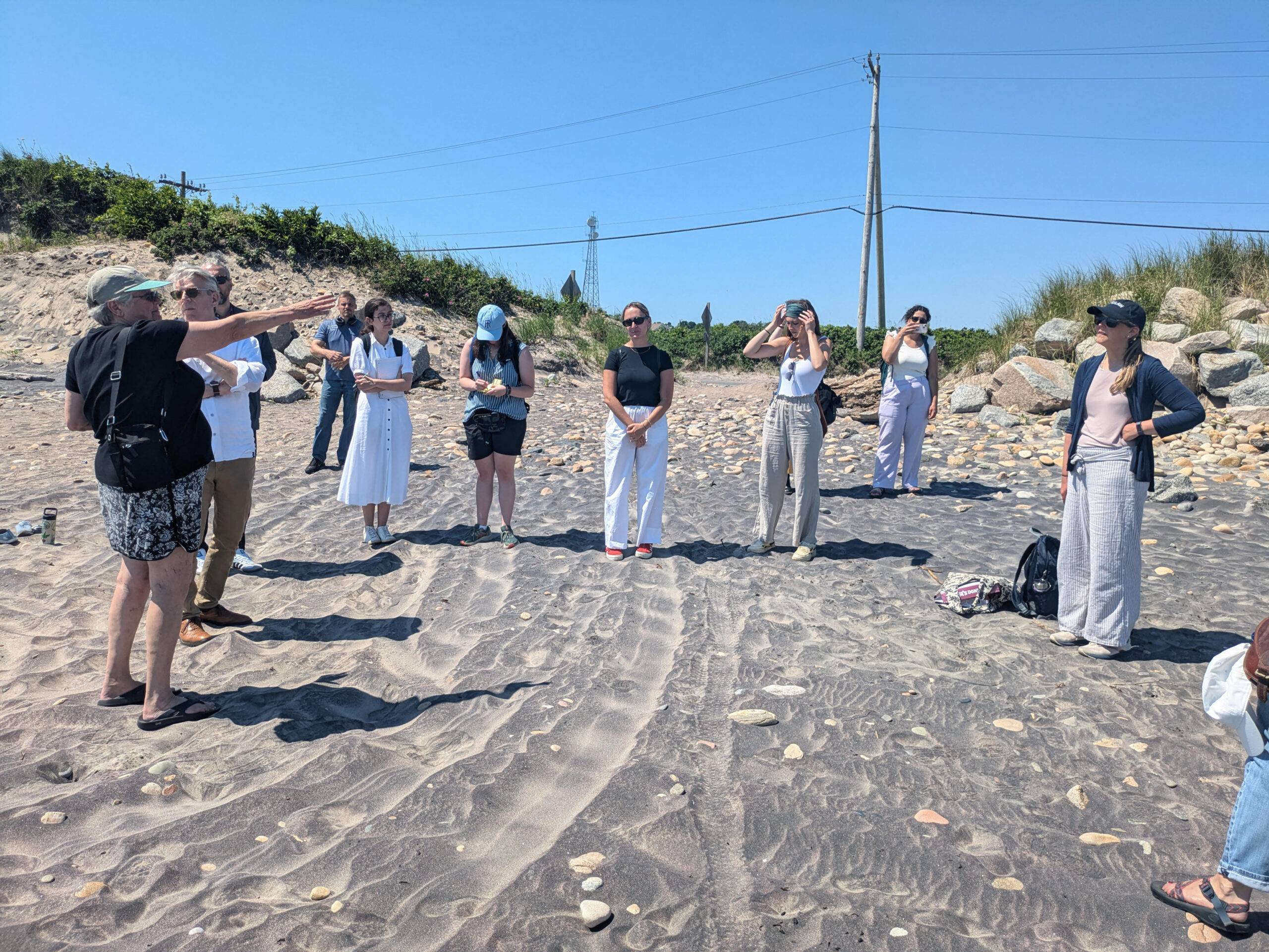
Block Island resident and retired NOAA administrator and atmospheric scientist Judy Gray describes sea level rise threats to Block Island for Roger Williams University School of Law clinic students and faculty.
The group was greeted at the Block Island ferry terminal by ferry director Bill McComb and Judy Gray, a retired NOAA administrator, atmospheric scientist, and member of the town’s SLR Committee. McComb introduced a recurring theme of the day’s visit: the effect of Hurricane Sandy on the town. For an island community, a connection to the mainland is critical for the movement of people and supplies. Standing by the waiting ferry, McComb noted that both ends of the ferry route must be considered: the mainland terminal at Point Judith and the Block Island terminal must be in good working order, and during Sandy, water came close to the top of the dock there. Increased storms mean more frequent harbor dredging so boats can navigate in and out, relocating electrical outlets above potential flood heights, and moving ferries out of their docks to protect them from damage.
Next, the group, which included Greg Bowman, dean of Roger Williams University School of Law, and Justin Kishbaugh, writing professor of law, who co-teaches the clinic, walked west to Ocean Avenue. They were met by Dylan Chase, the town’s sewer superintendent, who explained the careful negotiations required to make infrastructure changes in a historic community.
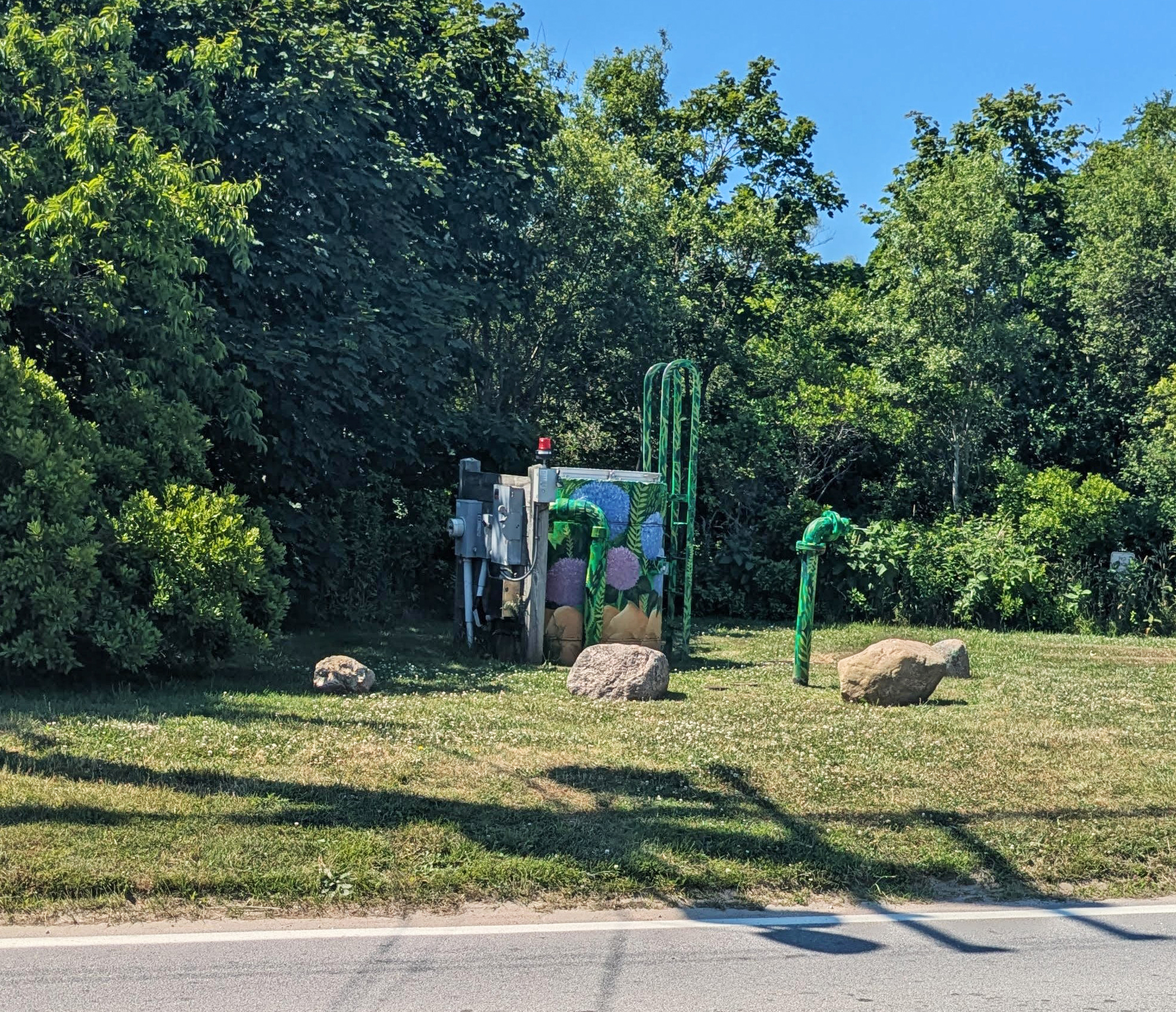
Chase led the group to a pump station, a piece of sewer infrastructure that moves wastewater from lower elevations near the shore, overcoming gravity to reach the treatment plant, which is sited on higher ground to avoid flooding. Chase wants to raise the island’s pump stations to make them less likely to flood during big storms. This change requires negotiating with the town’s Historic District Commission, which protects the island’s unique and historic architecture and identity. But here on the edge of Bridgegate Square, home to the town’s only wintertime grocery store, gas station, and bank, “utility and resiliency are number one,” says Chase.
Like many island communities in the Northeast, Block Island has a small year-round population (around 1,400 people), but the average summer day can bring 10,000 visitors, up to 25,000 on holidays. This poses a unique challenge for the sewer department, which must handle both very high and very low capacity, requiring the small staff to make manual changes to accommodate smaller and larger amounts of material twice a year. The town’s isolation also means redundancies are necessary, and issues that might be relatively minor on the mainland, like a hotel fire last summer, can be an all-hands-on-deck situation, requiring all of the town’s stored water and use of a saltwater pump.

New Shoreham’s sewer superintendent wants to raise the island’s pump stations in order to make them less likely to become flooded during big storms.
Judy Gray shared her concerns that, at some point, the sea level will rise too high for low-lying areas of the island to remain passable on important roadways or, in some cases, habitable. As part of the community’s Sea Level Rise Commission, she’s trying to convince the town to plan to relocate homes and businesses further inland, where much of the land is both at a higher elevation and isn’t currently developed because various conservation organizations manage it.
For their last stop, Gray led the group to the shore along Corn Neck Road to meet with Mike Shea, director of New Shoreham’s Department of Public Works. Shea explained that a stone revetment was built after Hurricane Sandy in 2012 to protect the road and adjacent buildings from further erosion. The beach was rebuilt with sand gathered from dredging the harbor and clearing out a nearby parking lot, and the entrance from Corn Neck Road acts as a drain for any flooding to return to the ocean. Unfortunately, according to Shea, the sand will be washed away by storms as soon as next February. The constant battle with the sea threatens leisurely beach days, hotels, private homes, and even the island’s gas station.
The students carried their interactions on the island back to the classroom.
“On the Block Island tour, we were able to see exactly how the economic hub of the town is susceptible to the ever-increasing threats of sea level rise and flooding,” said Haley Sinsley, whose contribution to the final group project explored how implementing a watershed management plan could benefit the town’s resilience efforts. “I particularly appreciated the intuitive efforts to create green infrastructure as solutions to excess stormwater.”
Ashley Kaplan also felt the impact of seeing the situation first hand and the points of view of people working on the ground to address daily challenges. “It was really important to get a visualization of the actual area that we were researching … as we went by the port, Corn Neck Road and the beach, it felt like we were given essentially a verbal vulnerability assessment by Judy as we saw the different pitfalls of each section.
The final report will be published this fall on the Marine Affairs Institute website.
— Georgia Young | Rhode Island Sea Grant Graduate Communications Fellow
